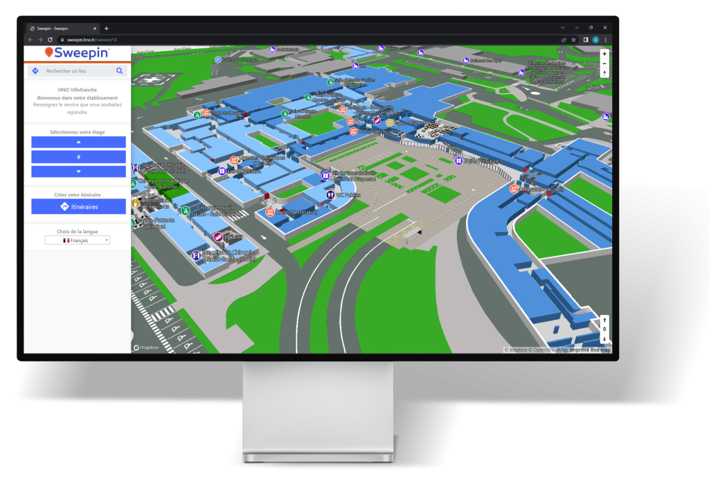
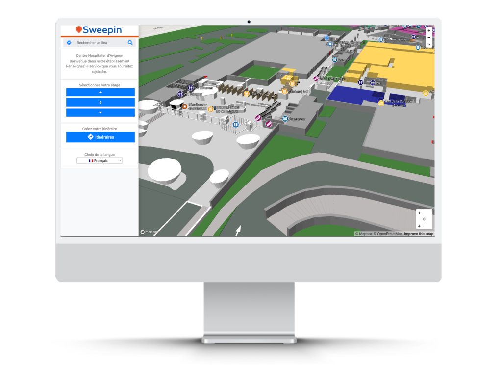
Your structure’s buildings are digitally mapped and accessible to visitors as a 3D web map.
With this solution, your buildings are mapped in 3D from your PDF or AutoCAD plans. Once completed, the digital plans are accessible from your website, so that users can easily consult them if required. They can generate and visualize routes from their home to the desired location within the facility.
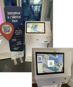
You can then edit QR codes via the Sweepin back office, which can be printed on posters and kakemonos, or displayed on digital kiosks.
Using their mobile phone, users scan the QR code located at the entrance to the building and follow a “play & stop” video. By following the on-screen instructions, they arrive at their appointment quickly and easily!
Scan the QR to test!
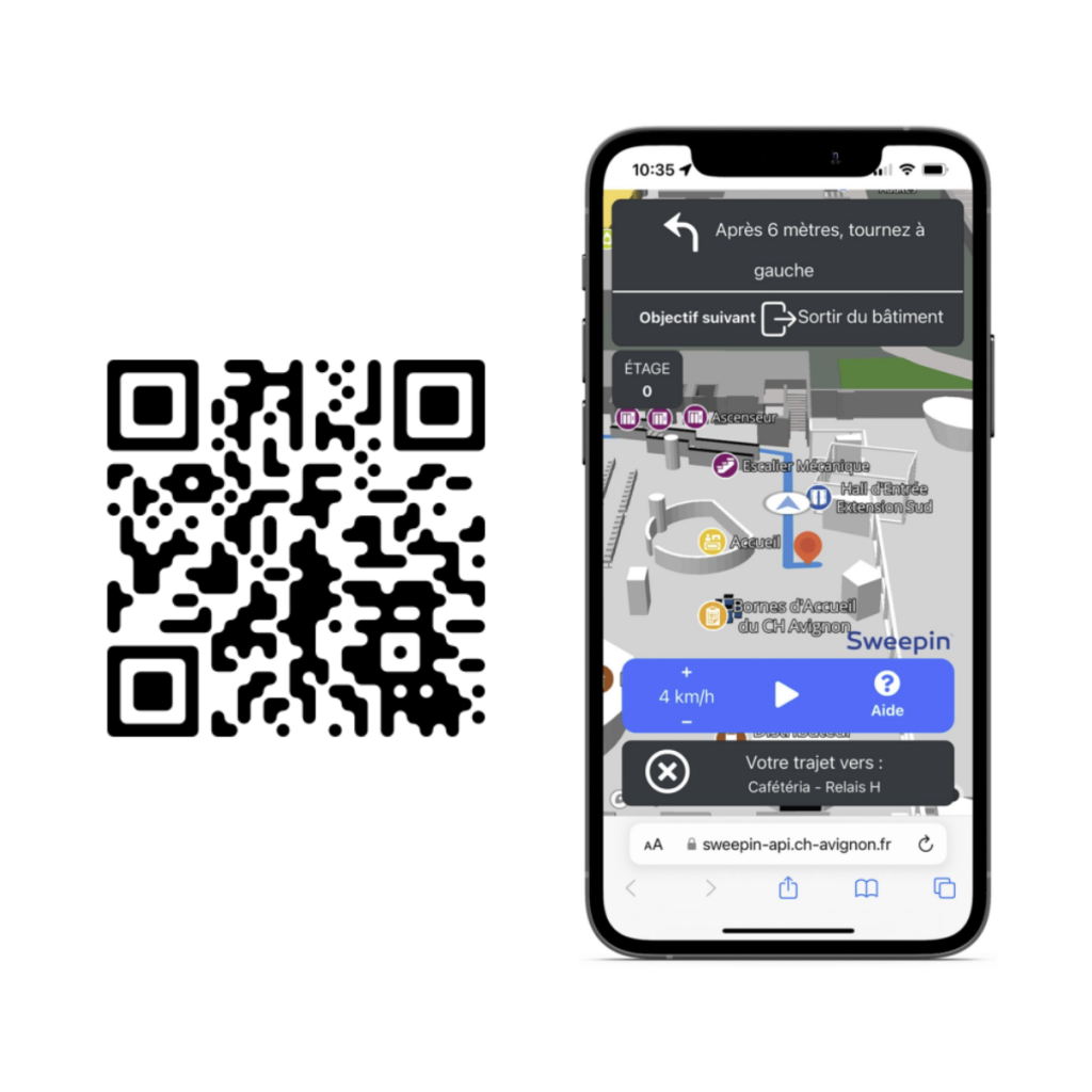

Here’s an example of indoor mapping carried out in a hospital. You can also try it out by scanning the QR code opposite with your phone to see our web-based geoguiding solution.
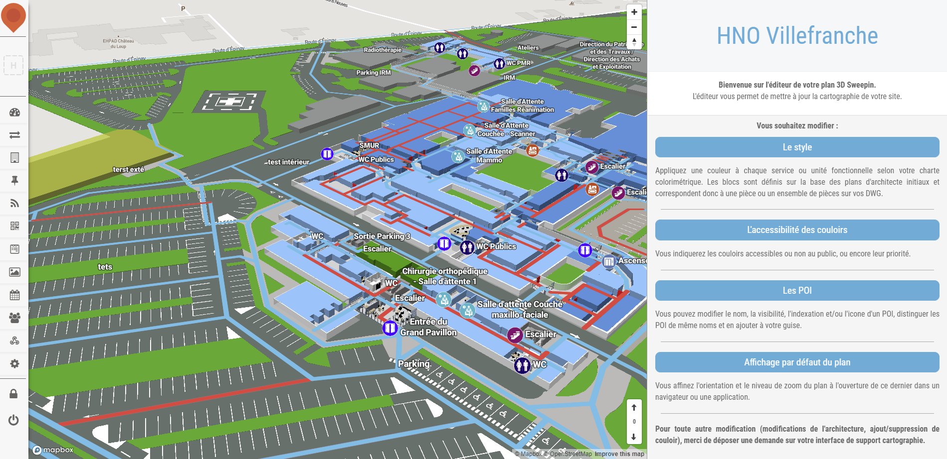
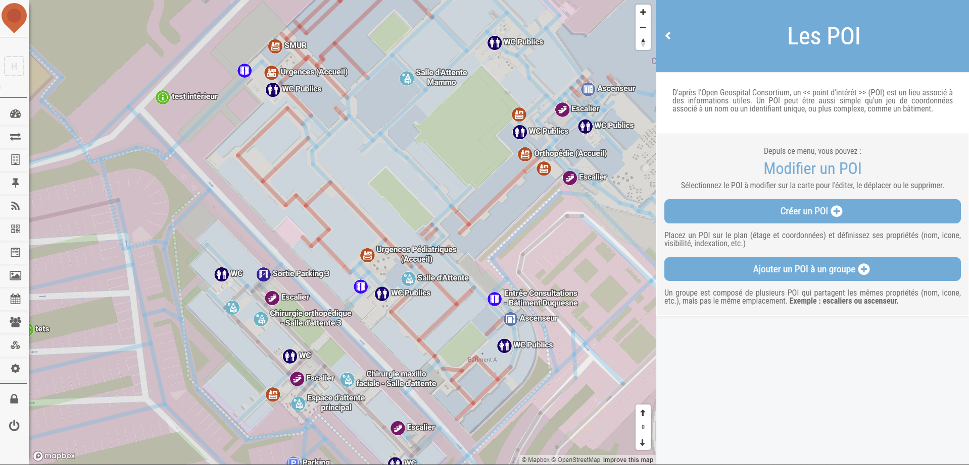
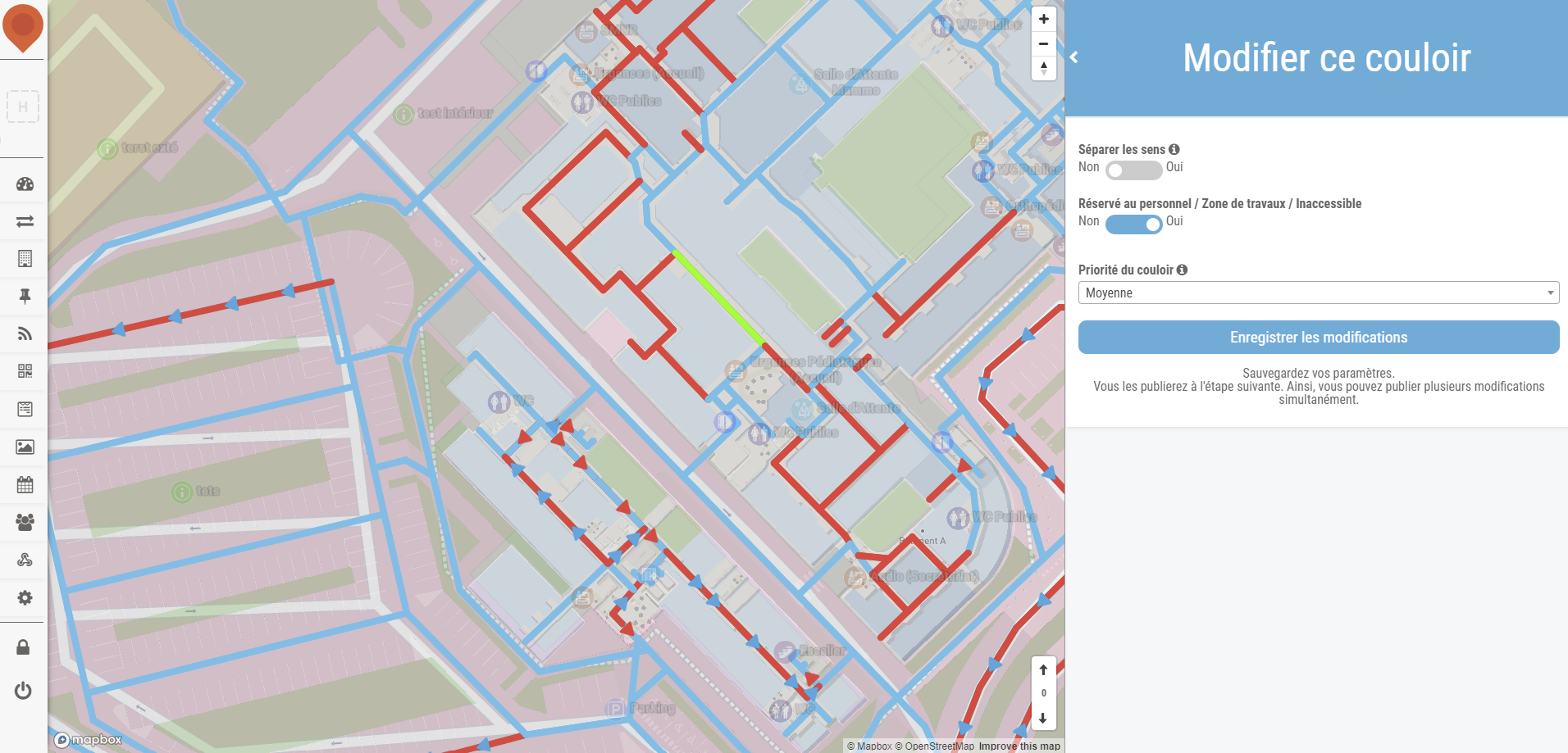
Plan editor by Sweepin
Thanks to our back office, you can edit the floor plans of your premises. This feature enables you to modify points of interest and building corridors, for example, in the event of construction work and/or new layouts. The editor is an intuitive, easy-to-use tool for quickly updating your map.


